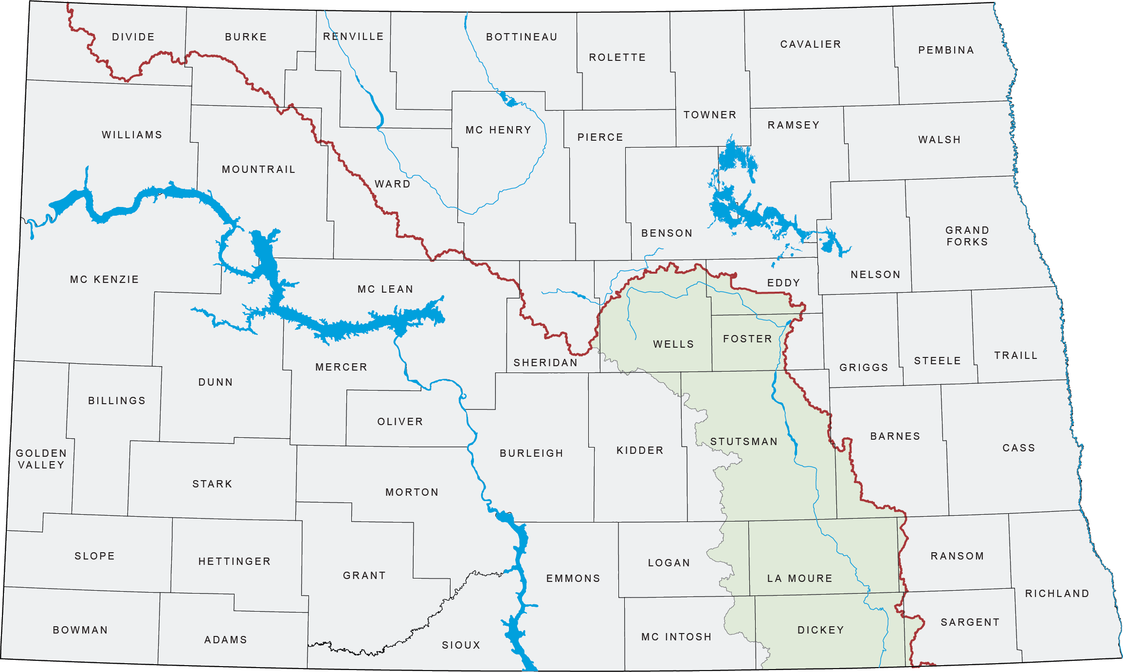
The James River originates in central North Dakota between the cities of Harvey and Fessenden. The river flows generally south-southeast for approximately 710 miles and empties into the Missouri River near Yankton, South Dakota.
The James River has one of the flattest gradients of any river in North America. Its drainage basin encompasses approximately 22,000 square miles.
Jamestown and Pipestem Reservoirs
The Jamestown and Pipestem reservoirs are located immediately north of the City of Jamestown, North Dakota. Jamestown Reservoir is located on the James River, while Pipestem Reservoir is located on Pipestem Creek.
Jamestown Dam
Jamestown Dam is owned by the U.S. Bureau of Reclamation. When the reservoir is operating in the flood control zone, it is regulated by the U.S. Army Corps of Engineers, Omaha District.
Construction of Jamestown Dam was completed in September 1953. The reservoir supports recreation and tourism activities throughout the year.
Pipestem Dam
Pipestem Dam is owned and regulated by the U.S. Army Corps of Engineers, Omaha District. Construction of the dam was completed in 1973.
The Pipestem Reservoir supports camping, recreation, and tourism uses.
Communities Along the James River
In North Dakota, the James River flows through or near the following communities:
- New Rockford
- Jamestown
- Ypsilanti
- Montpelier
- Dickey
- LaMoure
- Oakes
- Ludden
Since completion of the Jamestown and Pipestem Dams, flooding along the James River in North Dakota has generally been less severe than flooding experienced in many other river basins within the state.
Additional James River Basin information and supporting data are available at the following link:
Information
For more information on the James River Basin, please call (701) 328-2752.

